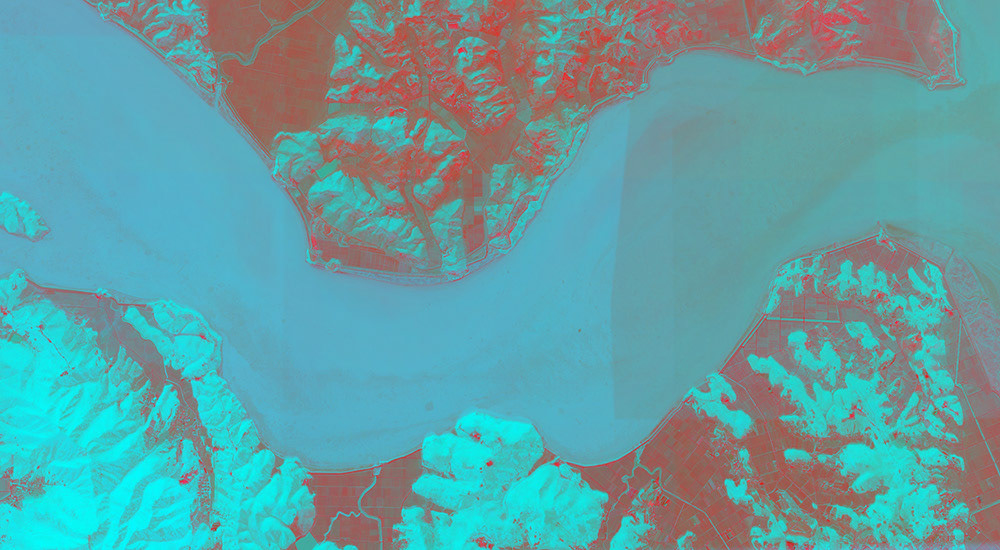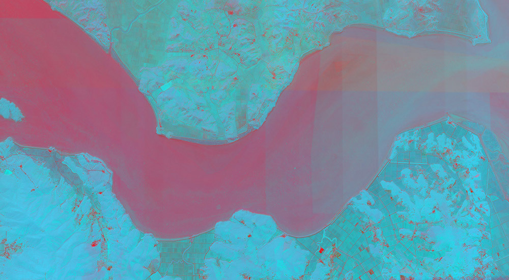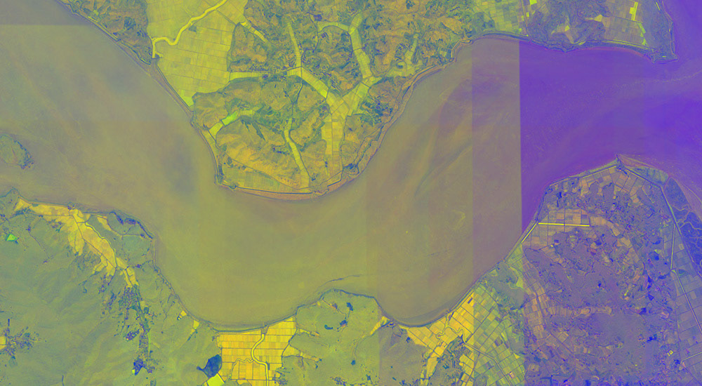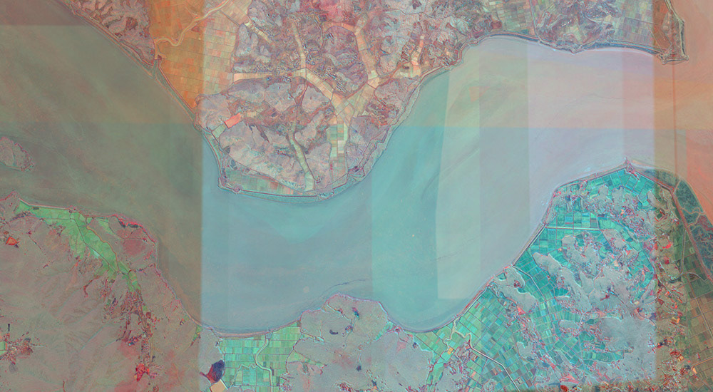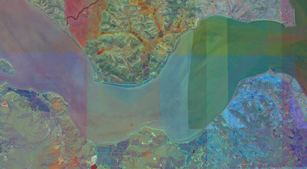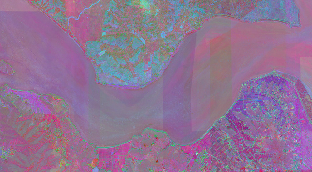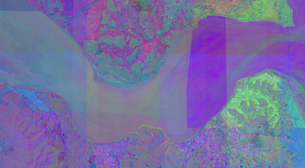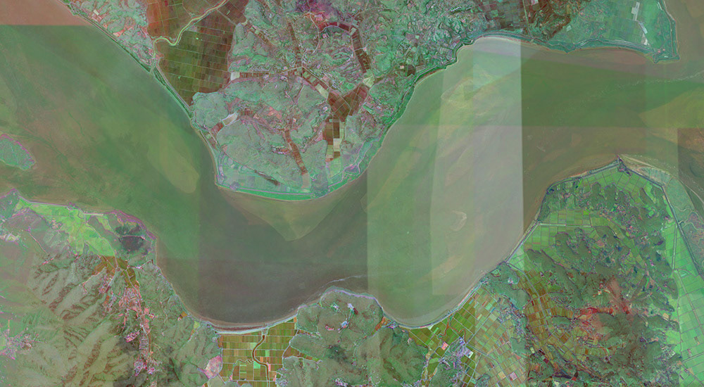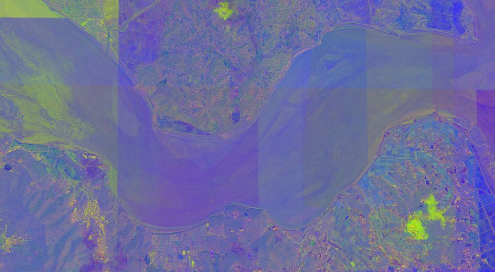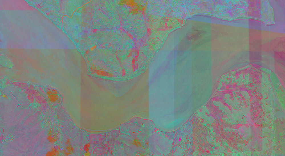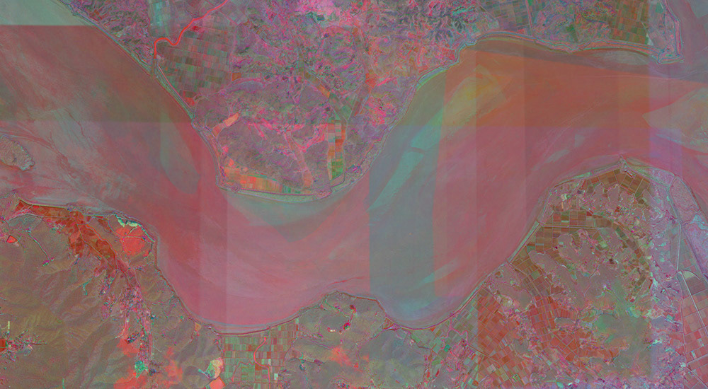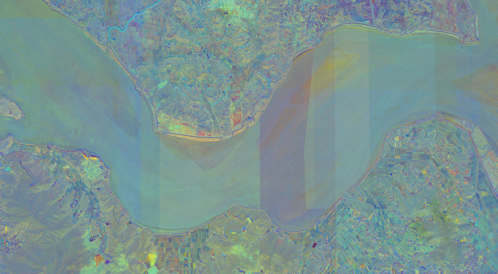
The DMZ (de-militarized zone) is one of the most heavily fortified borders in the world. A 4-mile wide swath of land that marks the separation between South and North Korea. It is a physical and ideological divide that cuts a single country in two. The ‘Free Zone’ section of the DMZ at Gimpo, S. Korea is at the confluence of three rivers and the Han River estuary. It is one of the most lush and verdant natural habitats in the world—having been untouched by humans for over 70 years.
Using overhead imagery, in this yet untitled series, I transform perspective and time into a compacted image space. Using a scientific method called “principal component analysis” (PCA) I combine satellite images of the ‘Free Zone’ section of the DMZ at Gimpo and the Han River estuary to transform and compress many layers of time and various perspectives into a few dense images. Typically used for spectral analysis or image vision applications like surveillance and face recognition, I apply the PCA to various technologies of seeing—visible light, mid-wave infra red, radar and ancient hand-drawn maps—to transform time and views of the DMZ.
The process uncovers hidden layers of earth, time, perspective and space—the DMZ’s ever-present and changing landscape is condensed and foregrounded. The eerie and other-worldly colors of the work speak to a space that is often utterly foreign and unseen by humans—even those who live right at the DMZ.
It also speaks to the DMZ as a space of conflict and contention where multiple views—ideological, social, political—vie to impose their interpretation of the place and its history. The work implicates various East, West and Cold War ideologies that tint, color and distort our view of the DMZ and the division of the Korean Peninsula.